What Is the Name of This Place? How to Find It From a Picture
A practical workflow for turning signs, landmarks, architecture, and map evidence into a place name you can verify.

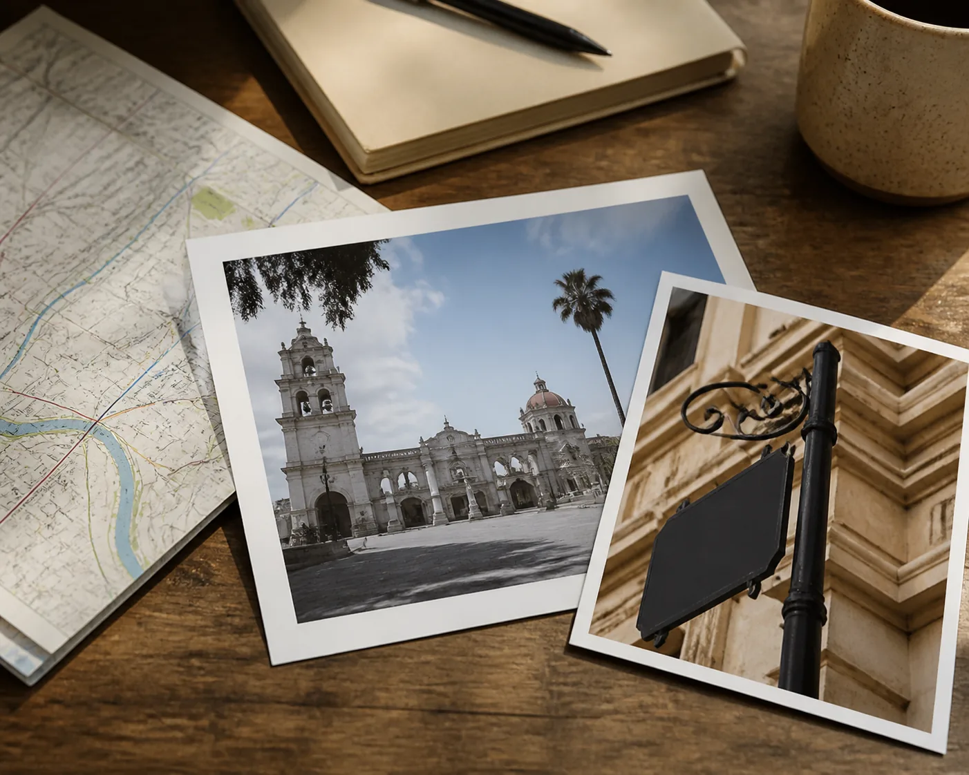
Table of Contents
When people search what place is this, they usually already have an image and want a useful name, not a lecture about geography. It may be a travel photo with no caption, a screenshot from a video, an old picture in a family folder, or a storefront saved from social media. The goal is to turn that image into a likely landmark, building, street, business, viewpoint, city, or country that can be checked.
What Place Is This? Start With the Highest-Value Clues
The best clue is usually the one that is both distinctive and searchable. A readable museum name, hotel sign, road marker, transit logo, restaurant name, or public building can narrow the search much faster than color or atmosphere. Keep the original image before making crops, because the surrounding street can confirm whether a text match belongs to the scene.
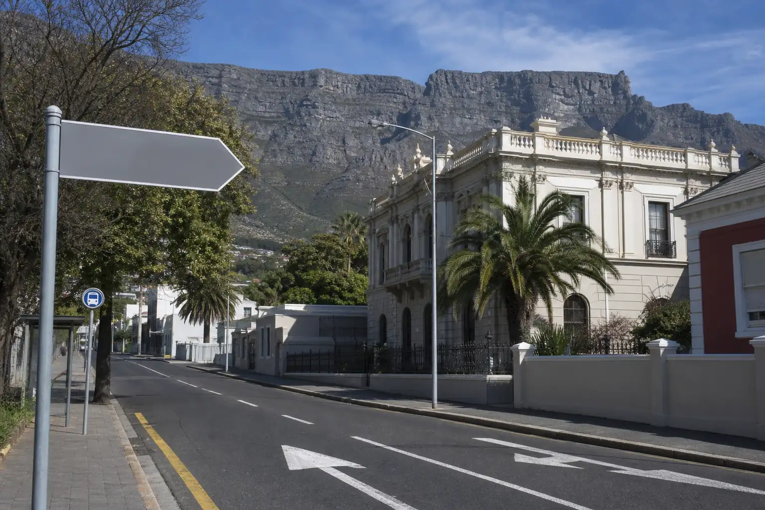
If there is no readable text, look for stable physical features. Compare the shape of a tower, the number of arches, a roofline, a bridge span, a mountain profile, a coastline, a street corner, or the order of neighboring buildings. Ask which details would still be present if the photo were taken again today. Those details are more useful than parked cars, clothing, weather, or temporary signs.
A useful first pass is to write down three things you can actually see: one possible text clue, one built-environment clue, and one natural or road clue. This prevents the search from drifting into a guess based only on a familiar-looking landmark.
Text and signs
Store names, street signs, public-building plaques, transit symbols, and visible scripts can reveal a venue, language, city, or country.
Landmark shape
Towers, domes, bridges, statues, arches, and unusual rooflines are valuable when their silhouette is distinctive.
Street context
Road markings, curb design, sidewalks, utility poles, neighboring facades, and traffic signs help reject lookalike matches.
Natural setting
Mountain ridges, coastlines, vegetation, rivers, and terrain can narrow a scenic place even when the building is ordinary.
How to Find the Name of a Place From a Picture
Use the steps below in order. The workflow starts with evidence already inside the file, then moves to visual search and finally to map verification. Each step answers a different part of the problem, so do not treat a GPS tag, a similar web image, and an AI guess as if they proved the same thing.
The original file matters. A screenshot or compressed social download may remove EXIF metadata and blur small signs, while the original phone photo may preserve a location tag, date, or more useful pixels. Metadata can point to the camera position, so it is supporting evidence rather than a guaranteed name for the visible place.
- Keep the original image and inspect its details for GPS, place tags, date, or camera information when you own the file.
- Read visible text manually or with OCR. Search an unusual phrase together with a likely city, country, business type, or landmark category.
- Try Google Lens or another reverse image search with the full image, then with a crop of the strongest sign, logo, tower, or architectural detail.
- Upload the clearest version to a place-identification tool when the image needs visual reasoning. Treat the returned place name as a candidate and note the clues it gives.
- Open the candidate in Google Maps or Street View. Compare facade details, road geometry, nearby buildings, terrain, and camera direction.
- Record the confidence level and what remains uncertain. If two places still fit, keep both candidates instead of forcing a single exact answer.
Place Name vs Photo Location vs Coordinates
These phrases sound similar, but they describe different outputs. What is the name of this place usually asks for the visible destination: a landmark, public building, restaurant, street, viewpoint, or natural attraction. Where was this photo taken may ask where the camera was standing. Coordinates ask for a map-ready latitude and longitude.
The distinction matters because a camera can be several streets away from the landmark shown in the frame. A photo of a tower from a bridge may have one camera location and another visible place. Start with the result the user actually needs, then use the other fields to verify it.
If the goal is a place name, do not let a generic GPS or current-location query take over the page. Use coordinates as a secondary check, and use map links to test whether the named place matches the scene.
| Question | Primary output | Best evidence |
|---|---|---|
| What place is this? | Visible place name and type | Landmark, sign, architecture, public context |
| Where is this place located? | City, region, or country context | Place name plus map and nearby geography |
| Where was this photo taken? | Camera position or capture location | EXIF GPS, viewpoint geometry, visual clues |
| What are the coordinates? | Latitude and longitude | Verified map pin or embedded GPS metadata |
When the Answer Can Be Exact—and When It Should Stay Broad
An exact place name is realistic when the photo contains a famous landmark, a unique building, a clear business sign, a public plaque, a distinctive bridge, or a combination of clues that only one location fits. The answer becomes stronger when the text, facade, street layout, and map context agree instead of relying on one visual resemblance.
A broad answer is more honest for an ordinary beach, forest path, plain apartment interior, blurred street, heavily cropped screenshot, or generic mountain view. In those cases, a tool may identify a likely country, city, region, place type, or short candidate list. That is still useful: it tells you what to verify next and prevents false precision.
Image quality also changes the boundary. A wide, sharp photo preserves context, while a tight crop may remove the very clue that separates two similar places. Try the clearest uncropped version first, then crop only to investigate one detail.
A reliable rule
The more independent clues point to the same place, the more specific the answer can be. If the evidence is generic, keep the result at the broadest level the image supports.
A Practical Verification Checklist
Before you share or rely on an answer, compare the candidate against details that are hard to fake and slow to change. A business name alone is not enough because a chain may have many branches, and a similar building may appear in several cities. Verification is the step that turns a plausible place name into a defensible one.
Use more than one source when the location matters for travel planning, reporting, research, or an important decision. Official venue photos, public map listings, Street View, historic images, and a reverse-search match can confirm different parts of the same hypothesis.
- Check the candidate name with the city or country, not as a broad standalone phrase.
- Compare the facade, windows, roofline, signs, road angle, sidewalk, and neighboring buildings.
- Check whether the terrain, skyline, water, vegetation, or mountain position appears in the correct direction.
- Use Google Maps or Street View to compare the viewpoint and the geometry of nearby streets.
- Look for a second independent source such as an official website, tourism listing, historic photo, or original publication.
- Save the evidence and state what is confirmed, likely, and still unknown.
Privacy and Responsible Use
A place-identification workflow is intended for public landmarks, travel research, image organization, education, and photos you own or have permission to analyze. It should not be used to identify a private home, track a person, expose a school or workplace, or infer a sensitive location without consent.
Removing EXIF does not remove every clue. A window view, storefront, street sign, skyline, mountain, or distinctive apartment entrance can still reveal a location. If you are preparing a personal image for sharing, create a separate copy and consider cropping or blurring details that make the place too easy to identify.
When the image comes from a public post, respect the creator and the platform rules. Use the result as a lead, not as permission to republish a private scene or attach a real person's identity to a location.
Good uses
Public landmarks, travel planning, school projects, historical-photo research, and organizing your own image library.
Avoid
Private-address discovery, stalking, tracking, exposing vulnerable people, or publishing sensitive location details.
Keep the boundary visible
A place name can be interesting without being a personal locator. Focus on public context and ask for permission before analyzing or sharing someone else’s image.
The Short Answer
If you need to answer what is the name of this place, use the clearest picture you have, read every visible sign, list distinctive architecture and landscape clues, and compare candidates in a map. A place finder can speed up the first hypothesis, while reverse image search and Street View help verify it.
The best result is not always an exact address. It is a place name with enough evidence that another person can understand why it fits. When the image is weak, a careful city, country, or place-type answer is more useful than a confident but unsupported pin.
Need the Place Name From Your Own Picture?
If you want a direct candidate rather than a manual workflow, upload the image to the place-name tool. It returns a likely place, place type, city or country, confidence, and visual clues that you can verify with maps.
What Place Is This FAQ
References and Sources
Last updated: August 23, 2026
Back to the homepage