Landmarks and Famous Places
Iconic towers, monuments, bridges, museums, temples, stadiums, and public buildings can often identify the location of this place quickly.
Upload any photo, screenshot, or shared image to find the place it shows. Review landmarks, signs, architecture, terrain, confidence, and map-ready clues in one image location finder.


Best for travel photos, screenshots, social images, street scenes, landmarks, and unlabeled pictures
This page is a general-purpose image location finder for photos, screenshots, and shared images.
People use an image location finder when a picture has no useful caption, the original source is unclear, or a familiar place is just outside their memory. The goal is practical: upload the image, get a likely place or region, and understand which clues support that result.
This tool is designed for the place shown inside an image. It is different from checking your current device location, tracing where a file was posted online, or reading exact camera coordinates. A landmark may be photographed from a nearby road, while a screenshot may contain only visual clues.
The workflow combines a clear upload, scene analysis, an honest confidence label, and map verification. Use the result as a researched lead, compare fixed details in Google Maps or Street View, and keep the distinction between an exact match and a useful estimate.
A useful image location result explains the evidence behind a place suggestion instead of hiding uncertainty behind one confident label.
Iconic towers, monuments, bridges, museums, temples, stadiums, and public buildings can often identify the location of this place quickly.
Street signs, business names, visible language, road markings, transit symbols, and traffic patterns help narrow the place to a city or country.
Building materials, facade style, balconies, street width, power lines, storefront design, and skyline shape can point to the region.
Mountains, coastlines, rivers, vegetation, weather, terrain, and light conditions can reveal where this place is located.
Distinctive landmarks, readable signs, and wide scenes give the strongest location clues.
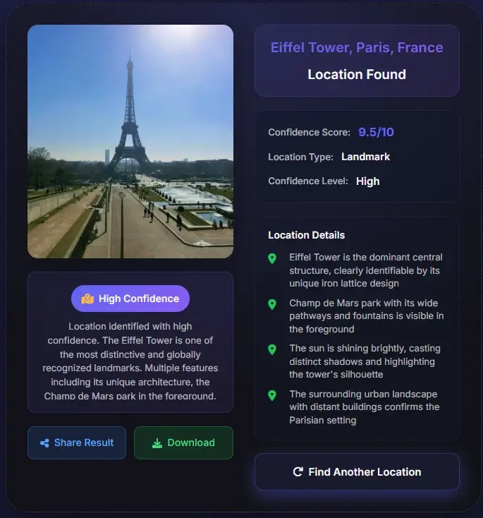
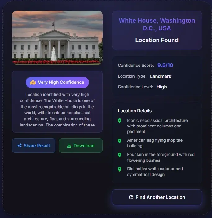
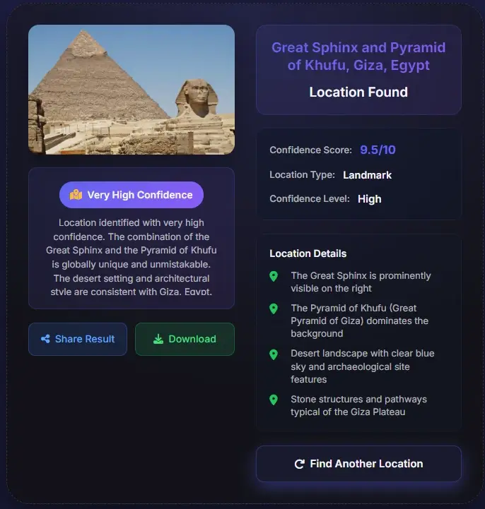
Choose the widest, sharpest version you have. Keep signs, storefronts, road layout, skyline, terrain, and surrounding context visible instead of uploading a tiny crop.
The image location finder compares landmarks, visible text, architecture, roads, terrain, vegetation, and regional patterns. It may return a landmark, city, country, or broader region.
Use the suggested place, confidence, and clue list as a starting point. Compare the result with Google Maps, Street View, official pages, or another independent source before treating it as final.
Some pictures support a precise place; others only support a likely city, country, or region.
An exact match is more realistic when an image shows a distinctive landmark, readable street sign, named business, unusual skyline, public building, bridge, or other fixed feature. An original file with GPS metadata can add a separate camera-position signal.
A generic beach, forest path, apartment block, indoor room, blurry road, or tightly cropped screenshot may not contain enough unique information for an exact address. In those cases, a broad but honest result is more useful than a precise-looking guess.
Remember that the visible place and the photographer location are not always the same. Compare the result with fixed scene details and map context, and treat confidence as a guide for verification rather than a guarantee.
The tool is useful whenever a picture contains a place clue but lacks reliable location context.
Find the real destination behind a social photo, blog image, or video screenshot before adding the place to your travel plan.
Check whether an image really shows the claimed city, landmark, or country by comparing the result with visible evidence.
Identify the location of this place when an old image, download, or shared picture has no caption or useful metadata.
Use visual clues when a screenshot or reposted image has no EXIF data but still shows signs, buildings, or terrain.
Screenshots, social downloads, messaging images, and edited exports often remove GPS and EXIF data. The image location finder can still examine landmark shapes, visible language, storefronts, road markings, architecture, terrain, skyline, and vegetation to create a map-ready lead.

A place name alone is not proof. Review the clue list, confidence, and source label, then compare road curves, building spacing, landmark orientation, hills, coastlines, signs, or other fixed details in a map view. If the scene does not match, keep the result as a lead and test another candidate.
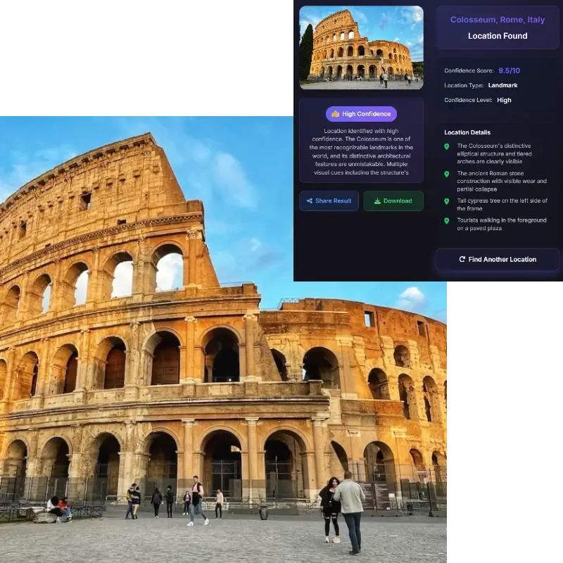
Once the tool identifies a likely place, map verification helps turn a guess into a supported answer. Search the place name, city, or coordinates in Google Maps. Then compare the photo with road curves, building spacing, storefronts, landmark orientation, skyline position, hills, coastline, or nearby public features. If the map view does not match the image, treat the result as a lead.
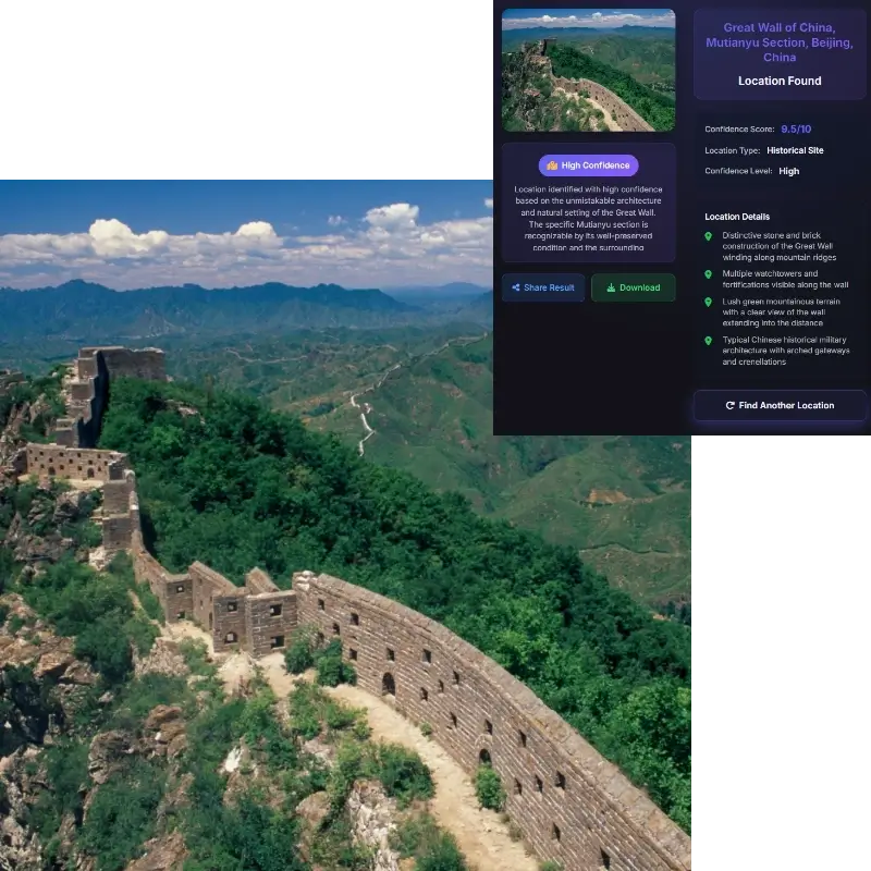
The phrase where is this place located can mean different things depending on the image. If the image shows a landmark, most users want the landmark's location. If the file contains GPS, the coordinates may describe where the camera was. Those are not always the same point. Treat coordinates, visible clues, and map context as related evidence rather than identical facts.
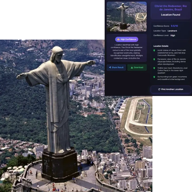
Image location research can reveal a home, workplace, school, hotel, or private routine. Use the tool for public places and images you own or have permission to analyze, and verify sensitive results carefully before sharing them.
An image location finder analyzes a photo, screenshot, or shared image for landmarks, signs, architecture, terrain, language, and other geographic clues. It returns a likely place and evidence you can verify with a map.
Yes. Upload the clearest image you have, review the suggested place and confidence, and compare the result with Google Maps, Street View, or another independent source. The answer may be a landmark, city, country, or broader region.
Yes. Most shared images lose GPS metadata. Visual clues can still support a location lead, but a result without EXIF should be treated as an estimate until the scene is verified independently.
Wide, sharp images with context work best. Keep landmarks, street signs, storefronts, roads, skyline, mountains, coastlines, transit symbols, or readable language in the frame when possible.
Use the returned place name, city, country, or coordinates as a map search query. Then compare the map or Street View scene with the uploaded photo to confirm the match.
Where the photo was taken can mean the camera position. Where this place is located usually means the visible landmark, building, street, or area shown in the image. Those can be different.
The image may not contain enough unique evidence for an exact match. Generic beaches, forests, suburbs, rooms, roads, and cropped screenshots can share visual patterns across many locations.
Only upload images you own or have permission to analyze. Avoid private homes, personal scenes, or sensitive locations. Even without metadata, visible details can reveal more than expected.
A photo location usually means the camera position. The place shown may be a landmark, building, street, mountain, or coastline somewhere else in the frame. Use camera-location evidence for where the photo was taken and visual-place evidence for what the image shows.